
Op-Ed: How AIS technology and the satellite industry team up at sea
Written by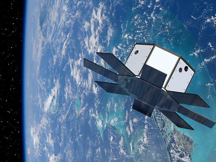
A rendering of a LizzieSat satellite.
By Carol Craig, Founder and CEO, Sidus Space
Space may be the final frontier, but technological advancements in satellites could have great impact on seafarers, commercial vessels, and the overall maritime industry. As satellite production has increased, private and governmental agencies have a heightened understanding of what technology can do for them.
Automatic Identification Systems (AIS) technology on board satellites improves navigation safety and efficiency for vessels around the world. The benefits of digitizing the maritime industry do not stop there—AIS tracking provides real-time information on vessel positions, course, speed, weather, and other relevant data.
The International Maritime Organization (IMO), requires large ships and commercial vessels to utilize AIS to improve safety and prevent collisions at sea. Key data metrics are plugged in upon installation of the AIS unit. These metrics include the ship’s Maritime Mobile Identity number, IMO number, ship name, length and beam, type of ship, and other relevant information. Navigational information and voyage-specific information such as navigational status, hazardous cargo, route plan, and destination estimated time of arrival are also collected. This information is detected by AIS in satellites and electronically exchanged with other nearby vessels, AIS base stations, and satellites.
Sidus’ 3D printed satellite, LizzieSat, is expected to launch on SpaceX Transporter-9 later this year, with multiple LizzieSat satellites expected in Low Earth Orbit by 2026. Each LizzieSat will be equipped with SatLab’s AIS technology. The combination of second-generation AIS technology and on-orbit hyperspectral imagery from Sidus Space’s LizzieSat constellation will provide associated advanced imagery. This is particularly valuable for the maritime industry, where safety and efficiency are critical factors.
LizzieSat satellites are manufactured in-house using composite additive manufacturing technologies and 3D printing. This allows for rapid, agile development of the satellites, along with a modular design which creates flexibility for easy integration of customer payloads, such as AIS technology.
The ability to provide more comprehensive and accurate data through satellite technology is an important development that can have a significant impact on a variety of industries and applications. Our satellites will provide a greater coverage area for AIS signals and will assist in shipping, illegal fishing, and coastal protection.
As technology continues to evolve, we can expect to see even more advanced and sophisticated solutions that can support a wide range of maritime operations, from navigation and safety to environmental monitoring and resource management.
Categories: Op-Eds, Technology