Sniffer drone deployed over Strait of Dover
Written by Nick Blenkey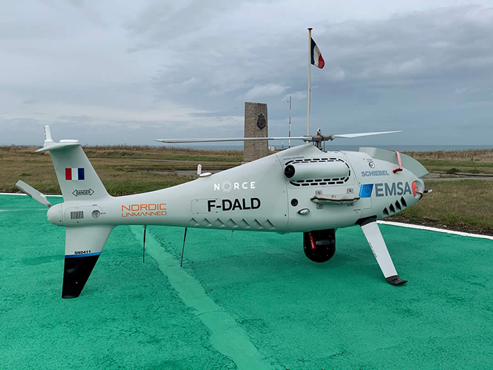
[IMAGE: Nordic Unmanned]
To tighten control of ship emissions, France’s Ministry of the Sea is deploying a sniffer drone in the Pas-de-Calais region, bordering the Strait of Dover, the world’s busiest area for ship movements. The drone is being made available to France by the European Maritime Safety Agency (EMSA).
Operations started on September 23 and will continue for a period of three months with flights taking off from the Regional Surveillance and Rescue Operational Center (CROSS) Gris-Nez which will serve as logistical base and will coordinate follow-up on the flights.
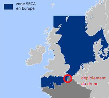
The unmanned aircraft will fly above the Dover Strait Traffic Separation Scheme, which is part of the North Sea Sulfur Emission Control Area (SECA) where tighter pollution monitoring rules apply.
Ships navigating in this area must not use fuel with a sulfur concentration higher than 0.1% whereas in other areas the limitation is set at 0.5%.
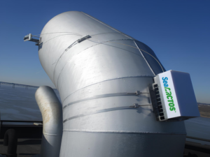
The information collected from the drone (sulfur concentration, images, flight trajectory and gas measurements) will be transmitted live and recorded in EMSA’s RPAS data centre. The RPAS Data Center is linked to THETIS-EU, a European database used by authorities around Europe responsible for ship inspections. If the emissions measurement taken by the drone indicate a breach of the concentration limit, a subsequent ship inspection may be triggered at the next port of call.
EU member states are informed of these breaches to facilitate coordination of ship inspections.
Categories: Environment, News, Shipping